






























































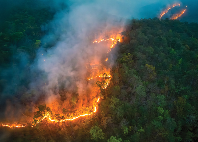
Rising rates of fire-driven canopy destruction present a growing challenge to global carbon accounting, land-use management, and long-term climate risk assessments.
An investigation titled, ‘Global Trends of Forest Loss Due to Fire From 2001 to 2019’, authored by a group of US and Chinese researchers, demonstrates a statistically significant upward trajectory in stand-replacement forest fires across boreal, temperate, and tropical biomes over the 19-year observation period.
By isolating severe canopy-destroying events from low-intensity surface burns, the research provides a refined dataset that directly informs industrial decarbonisation strategies, corporate Scope 3 emissions calculations, and the verification of forestry-based carbon offset frameworks.
BIOMIC DISTRIBUTIONS & HIGH-RESOLUTION QUANTIFICATION METHODS
The analytical framework relies on a novel combination of 30-m resolution Landsat satellite metrics paired with sample-based unbiased estimators designed to eliminate mapping bias across vast geographical regions.
Conventional reporting methodologies frequently aggregate general fire activity without distinguishing between minor surface burns and true stand-replacement events, leading to distorted greenhouse gas (GHG) inventories and inaccurate carbon balance models.
By applying 30-m spatial resolution, the researchers mapped complete canopy destruction where tree cover was entirely removed by fire activity.
The resulting data reveals distinct biomic patterns: Boreal Eurasia, Canada, and Australia experienced substantial structural losses, while tropical regions exhibited extreme spikes in canopy destruction coinciding directly with major climate anomalies.
Differentiating natural wildfire events from mechanical land clearing followed by slash-and-burn practices offers a precise empirical foundation for verifying agricultural and industrial supply chains.
This level of spatial precision allows project developers, climate transition funds, and insurance underwriters to stress-test physical asset risks and evaluate the integrity of environmental claims with higher accuracy.
CLIMATE DRIVERS & ENVIRONMENTAL VARIABILITY FACTORS
The primary drivers behind the documented upward trends stem from systemic climate variability, extreme weather events, and regional environmental conditions.
The data highlights a marked vulnerability in tropical forests during El Nino cycles, most notably during the severe 2015–2016 event across Latin America and Southeast Asia.
During these periods, prolonged drought conditions combined with elevated temperatures dramatically amplified forest susceptibility to severe stand-replacement fires.
In northern latitudes, boreal forests displayed a persistent, statistically significant expansion in fire-induced tree loss, reflecting shifting environmental baselines over the two-decade tracking period.
The distinction between natural wildfire propagation and human-induced land conversion remains a critical decision driver for environmental policy and industrial planning.
Mechanical clearing for agricultural expansion and industrial infrastructure development follows fundamentally different spatial and operational patterns than uncontrolled wildfire spread.
Establishing clear boundaries between these mechanisms ensures that emissions reporting models accurately attribute carbon losses to either natural disturbance regimes or intentional land-use changes, thereby preventing structural misclassifications in national and corporate GHG gas inventories.
IMPLICATIONS FOR INFRASTRUCTURE & ASSET MANAGEMENT
The acceleration of severe fire-driven forest loss carries direct implications for regional infrastructure, energy transmission corridors, and long-term project financing.
As high-intensity fires increase in frequency across boreal and temperate zones, physical assets situated near or within forested regions face heightened operational exposure.
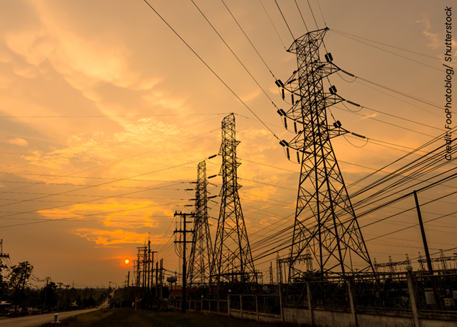
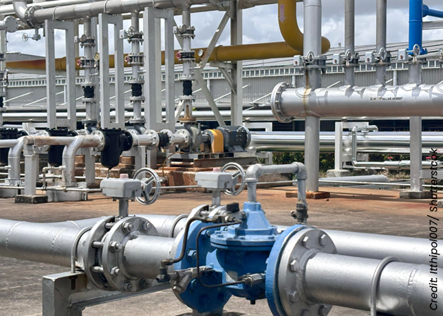
Uncontrolled canopy fires threaten energy corridors, pipeline networks, power transmission infrastructure, and biomass feedstock supply chains, requiring updated risk management models and enhanced physical mitigation strategies.
Furthermore, the findings directly impact the credibility of forestry-based carbon offset schemes.
Because many corporate net-zero strategies depend on forest conservation or afforestation projects to balance industrial emissions, unquantified fire risks threaten the permanence of stored carbon.
A sudden stand-replacement event can instantly reverse decades of sequestered carbon, converting a designated carbon sink into a major point source of atmospheric emissions.
Incorporating 30-m resolution sample-based estimation frameworks into offset monitoring regimes enables more realistic buffer-pool calculations and risk pricing.
Beyond carbon markets, remote-sensing data of this resolution provides clean supply chain verification for bioenergy developers, ensuring that timber and biofuel feedstocks are sourced without contributing to unmapped deforestation or severe habitat degradation.
Regional energy planners and project underwriters must increasingly incorporate recurring climate shocks, such as El Nino phenomena, into long-term infrastructure resilience assessments, resource allocation models, and decarbonisation roadmaps to account for escalating environmental disturbance trends across global forest ecosystems.