


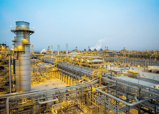

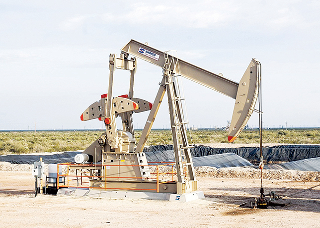


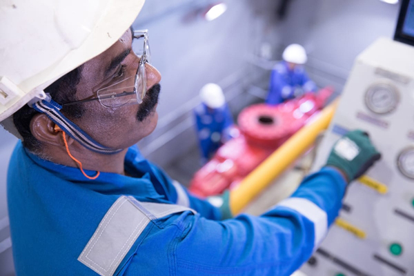


Drilling oil and gas wells thousands of feet beneath the earth’s surface is challenging and expensive.
Increasing the drilling accuracy and decreasing the cost is valuable, not only to Saudi Aramco but also to the hydrocarbon industry around the world.
And that may be why a patent-pending technology, invented by Saudi Aramco’s Roger Sung, of the Exploration Application Services Department, and Ken Lewis, of the Reservoir Characterisation Department, will be commercialised for sale and use outside of Saudi Aramco.
The GeoMorph technology developed by Sung and Lewis improves collaboration between geoscientists and engineers using data that is gathered even while a well is being drilled.
Saudi Aramco filed a provisional patent (No 60/537,595) for the technology with the US Patent and Trademark Office.
After screening offers from various companies, the company reached an agreement with Earth Decision Sciences to sell the technology to other companies.
“This real-time earth modelling technology has been proven to dramatically shorten the drilling process cycle time by enabling geological models to be updated in minutes,” said Dr Ahmed A Metwalli, manager of the Exploration Application Services Department.
“The GeoMorph journey exemplifies Saudi Aramco’s continuous quest for improving the quality of our decision-making process, to better characterize and develop our fields,” said Amin H Nasser, vice president of Petroleum Engineering and Development (PE&D).
An earth model – used in planning and guiding where to drill in a reservoir – is made up of a wide range of data interpreted by geologists, geophysicists, petrophysicists and engineers.
It’s like an architectural model of a skyscraper, which shows the shape of the building (3D structure of the reservoir), number of stories (size of the reservoir), windows and doors (porous space in rock that potentially holds hydrocarbons) and color and content of the building (oil, gas, water, or others).
Geoscientists and engineers can digitally rotate and slice the digital earth model to gain a better understanding of subsurface structures.
Reservoir characterisation, well planning and field development rely heavily on accurate earth models.
Saudi Aramco professionals design, monitor and drill extended horizontal wells, often reaching tens of thousands of feet, to hit oil- and gas-bearing reservoir rock.
But even with the most detailed interpretations, surprises do occur. So it is easy to understand why the ability to update an earth model while drilling a well is so valuable.
The 3D geological modeling-while-drilling tools developed by RCD incorporate real time Logging-While-Drilling data sent directly from the rig to EXPEC, in addition to geological, geophysical and engineering data.
The process enables experts to analyze unexpected results encountered during drilling and update the 3D geological model in minutes.
Such an improvement in the efficiency of model updating, compared to conventional methods, provides an “on-the-spot” road map to place wells in the desired reservoir zone, maximising reservoir contact.


