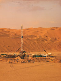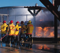


For many companies, surveying is a long, expensive and complicated process, often taking months to complete in sometimes dangerous locations.
However, Dutch company Fugro N V has launched a cost effective, accurate alternative which is literally thousands of times faster than conventional methods.
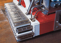
The FLI-MAP (Fast Laser Imaging and Mapping Airborne Platform) is an innovative portable airborne mapping system, especially suitable for corridor mapping, which delivers comprehensive results while being non-intrusive. It is now available in the Middle East through Fugro Suhaimi (in Saudi Arabia) and other Fugro offices in the Gulf.
The integration of numerous innovations such as the scanning laser, the solid state Inertial Navigation System, kinematic GPS technology, digital video imagery and dedicated software have resulted in an outstanding tool for 3D corridor mapping in a range of industries, including oil and gas, according to the company.
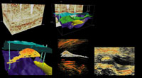
The principle of the FLI-MAP system is that the energy of the laser pulses is partly reflected and partly absorbed by the earth's surface or by objects in the terrain. The reflected part of the pulse is recorded by a sensor next to the laser and the time difference between the transmission of the pulse and the reception of the first reflection gives the distance between the helicopter and the point on the surface.
The FLI-MAP system collects 11,000 x,y,z data points per second and can map more than 200km of corridor per day. Because the position, altitude and heading of the helicopter is accurately known on each moment of pulse transmission, the precise 3D dimensional coordinates of each point on the ground can be calculated.
Thus, flying at altitudes of between 20 and 225m and at speeds of between 40 and 80 kmh, the system can capture an average 10 to 20 points per sq m. It can capture 3D geometry of terrain features with a horizontal and vertical accuracy of five to 10 cm. The 3D data can be entered into major third party software programs to further process the data and provide specific engineering information.
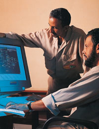
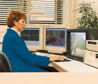
Data from the GPS receivers and the Inertial System is post-processed to produce accurate vector offsets from all base stations to the helicopter. The dedicated processing package supplies filter algorithms and CAD functions "on top of" the laser data, providing additional capabilities to the operator in extracting valuable information from the FLI-MAP data, according to the company.
In addition, video images can be digitised and fused with laser data to present them as a geo-referenced, orthorectified mosaic of images. This offers a better view for the operator on the video images and enables the operator to correctly determine the position of small objects as the resolution of the video images is higher than the laser point density. From this point, data can be managed, visually inspected, filtered, extracted or exported to popular off-the-shelf CAD or GIS software packages.
Fugro N V is a worldwide operating engineering firm which is active in the fields of geotechnical engineering and survey, onshore, offshore and from the air. The company employs a total of 5,700 staff in offices in 45 countries.
Fugro Suhaimi Ltd is a geotechnical, materials and NDT engineering company, serving the construction industry in Saudi Arabia since 1976. The company is a 50:50 joint venture between Fugro N V and Alsuhaimi Company of Dammam in Saudi Arabia.
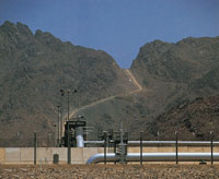
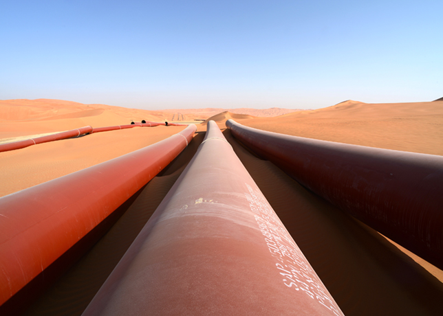
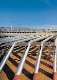
The FLI-MAP system has been successfully utilised around the world in a number of applications including electrical, railway, water management, transport and fiber optics. Whether you are planning future pipeline corridors, surveying the condition of existing pipelines, or looking to obtain accurate topographical information, FLI-MAP provides the revolutionary answer.